Crow Pass, Alaksa
#1
 09-09-2008, 09:09 PM

Crow Pass, Alaksa
Hey guys! Went for a walk over Labor day weekend. 26 miles from Girdwood to Eagleriver Alaska. Saw a Marmot, 2 black bears, 6 glaciers and countless waterfalls. Here are some highlights.
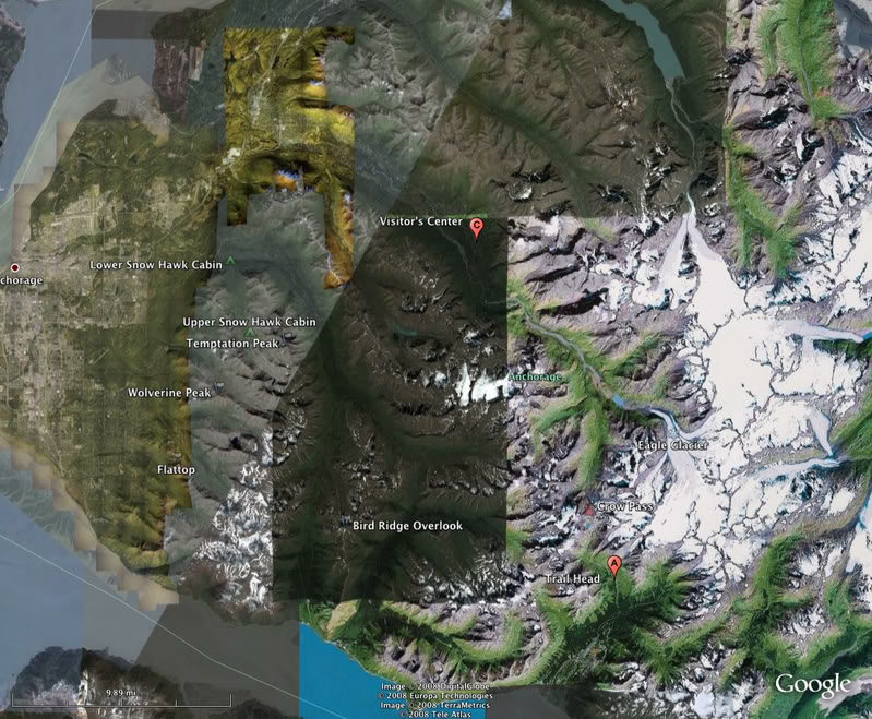
Here is a map showing the start point and end point. the trail is not a straight line between the two, so even though its 14 miles on the map, on the ground you cover 24-26 if you start at the actual Iditarod trail head.
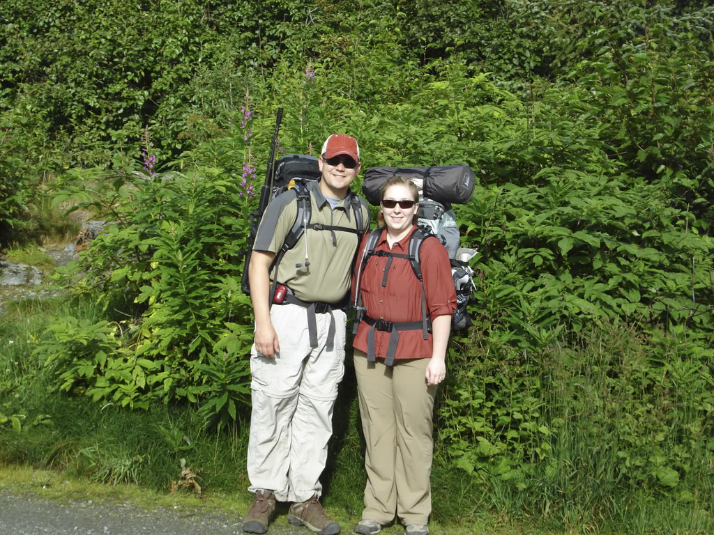
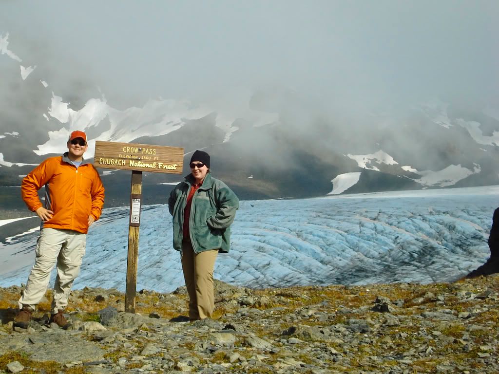
Here is me and my wife all fat and happy.
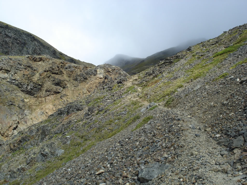
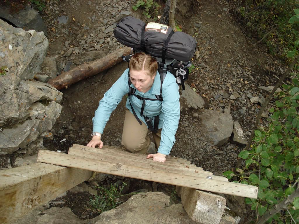
Here is the general condition of the trail.
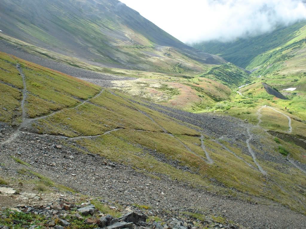
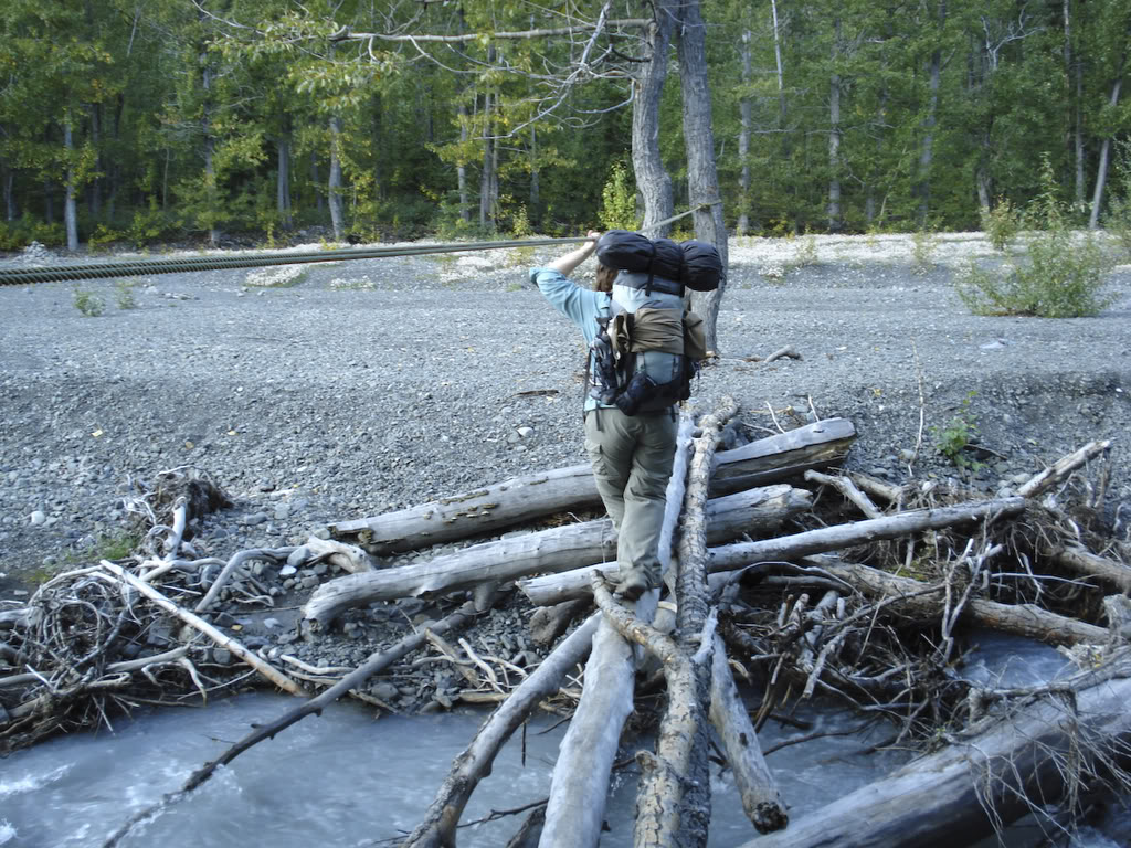
This is how you turn 14 miles into 26.
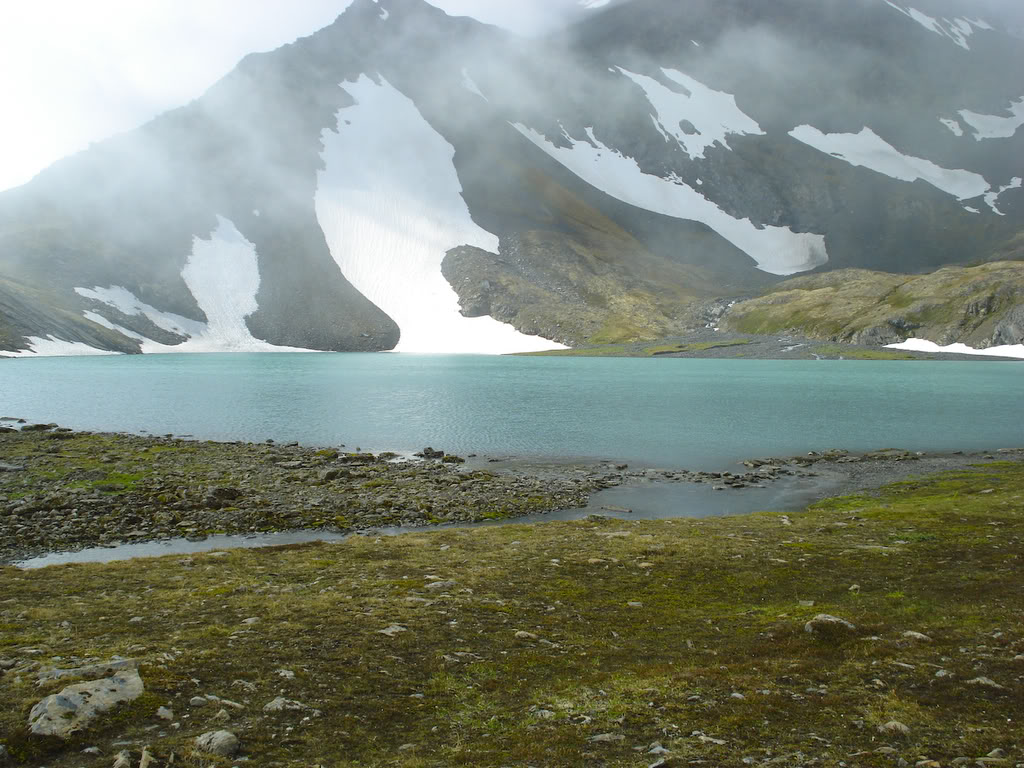
Crystal Lake, almost at the pass.
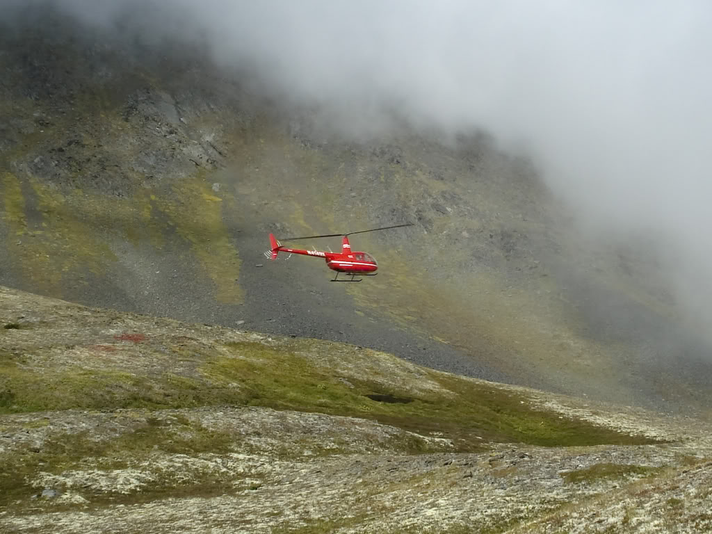
A helicopter tour on their way to the pass.
Finally at the damn Pass! Raven Glacier in the background.
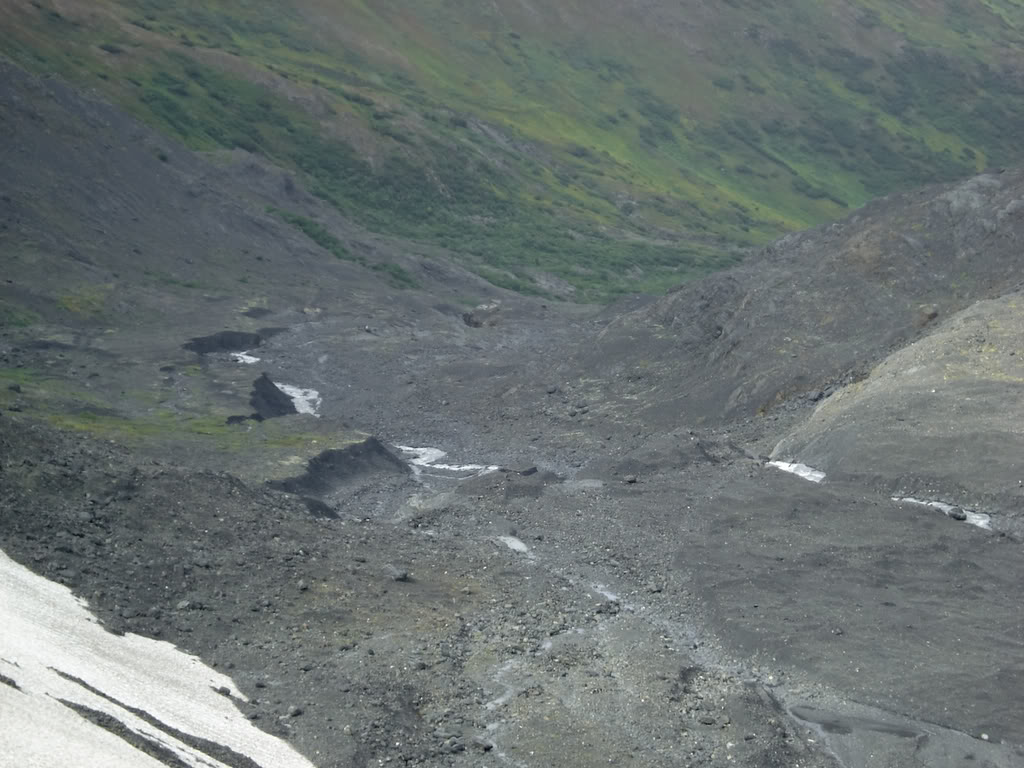
The valley we have to walk through.
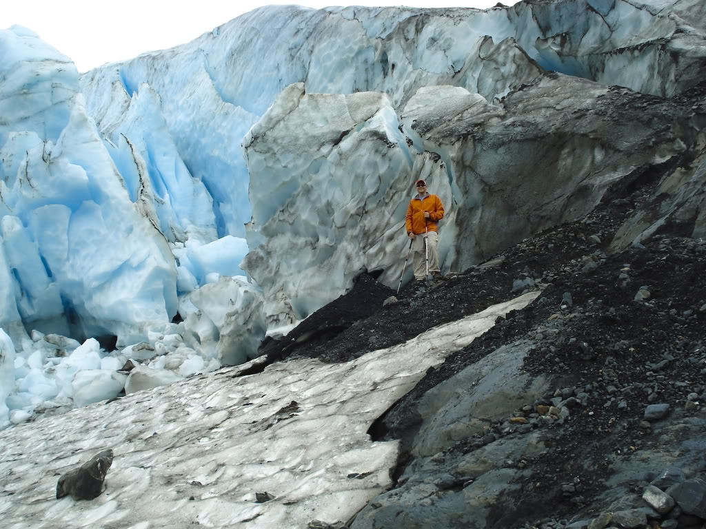
Me too close to Raven Glacier.
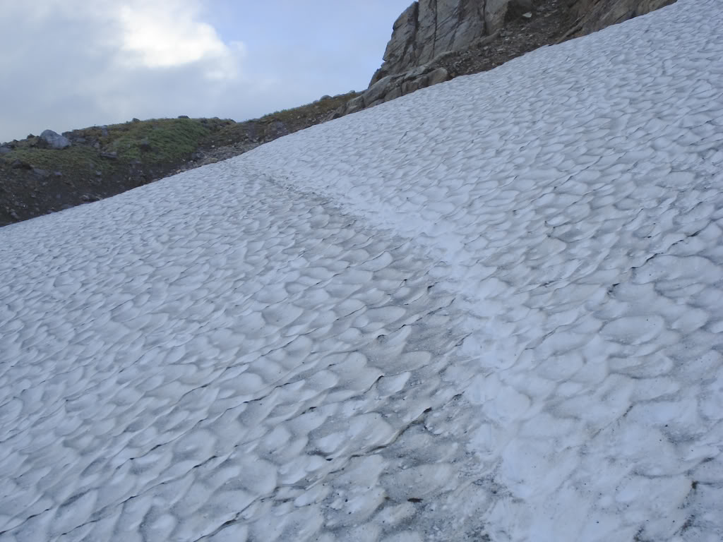
One of the snow fields we crossed.
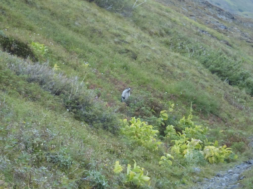
The marmot.
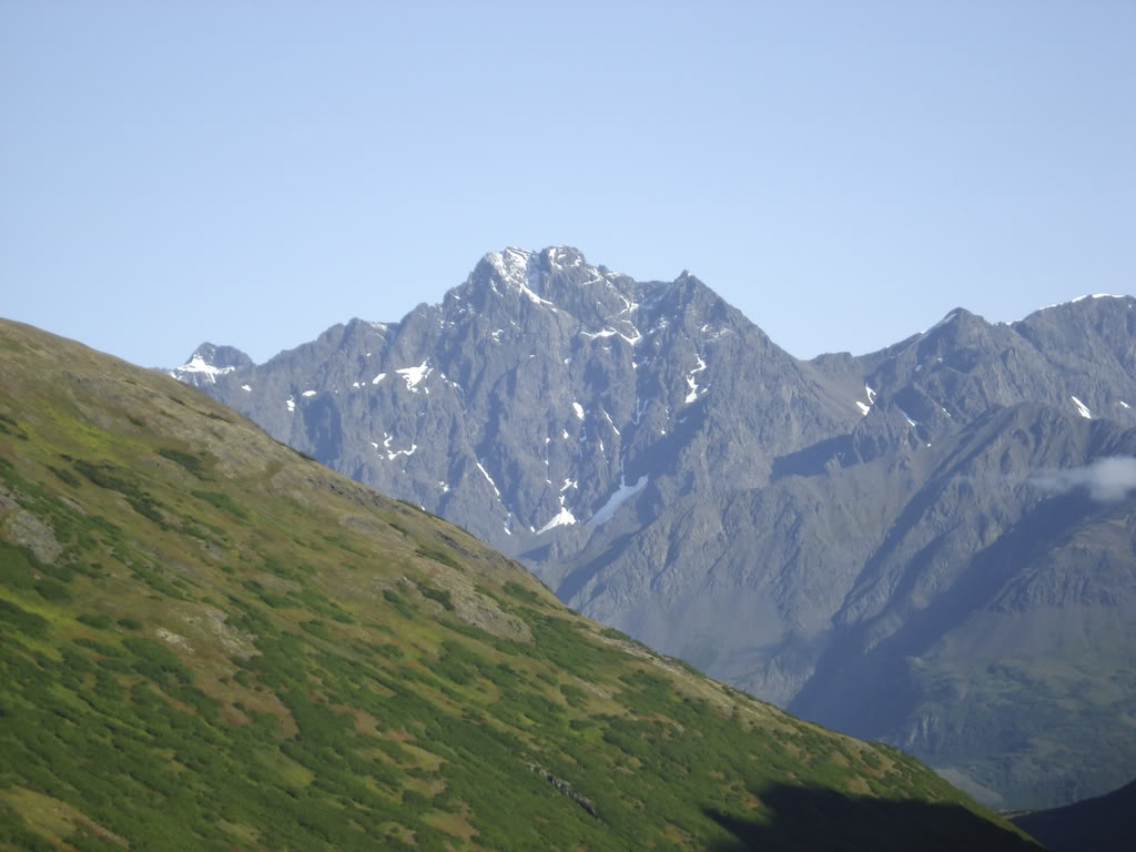
Mt Yukla, 7535 feet.
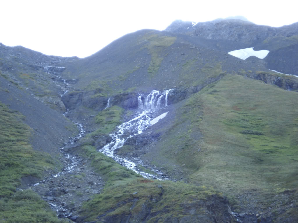
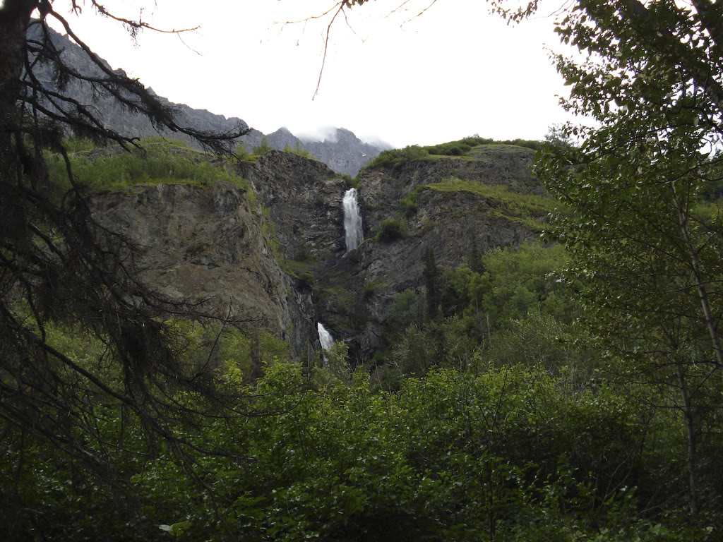
Waterfall.
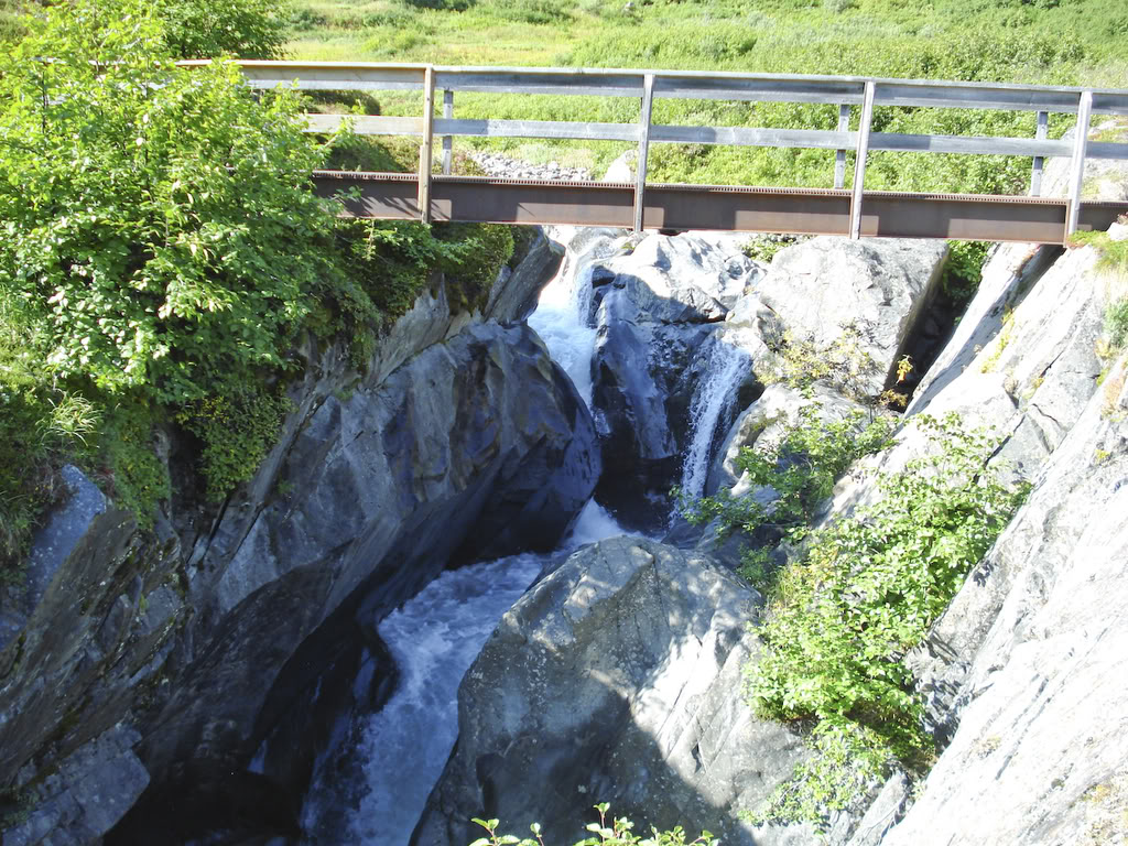
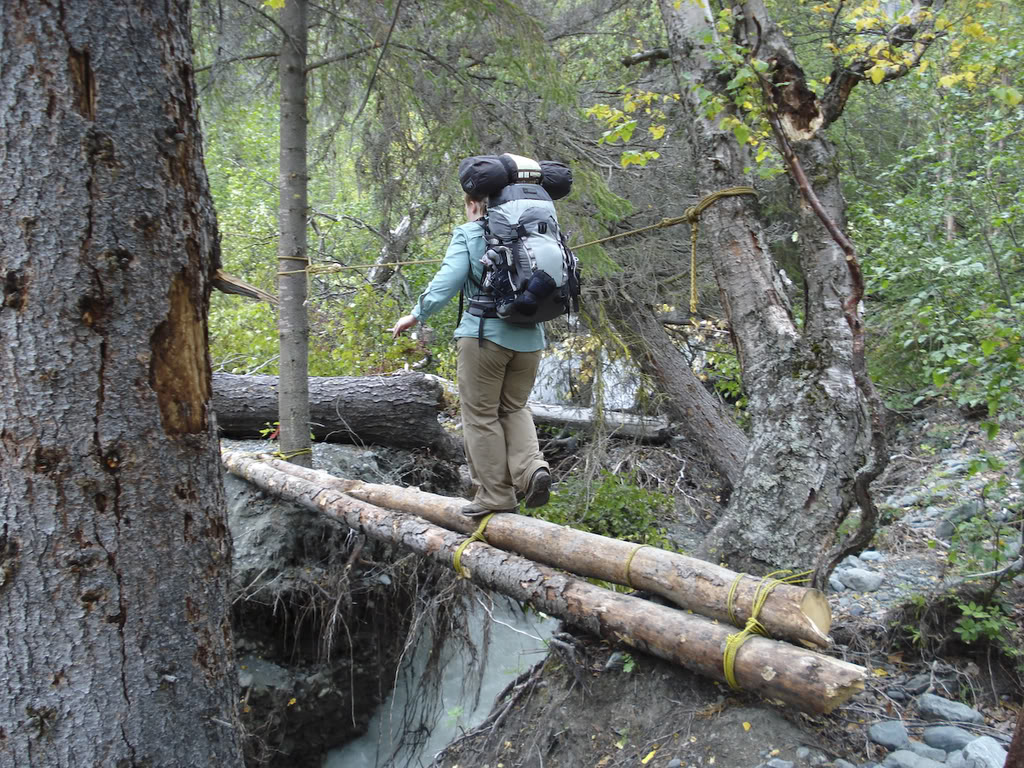
A bridge.
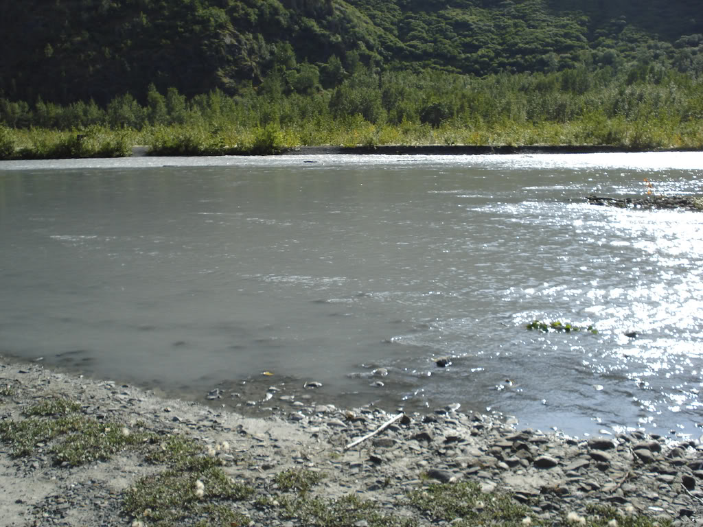
Where we forded Eagle river.
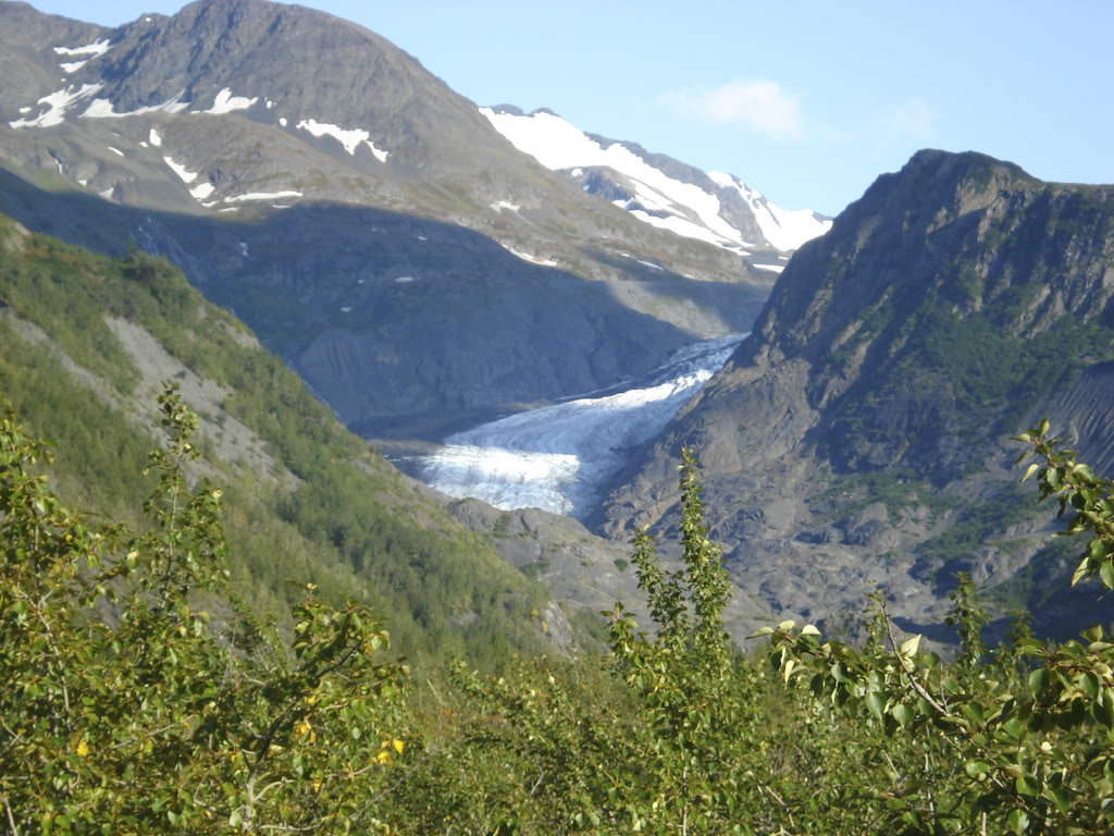
Eagle Glacier, Which feeds Eagle river.
Thunder Gorge.
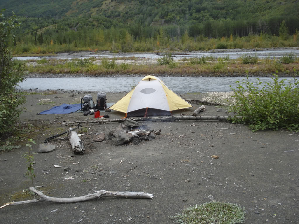
Camp.
Ladder.
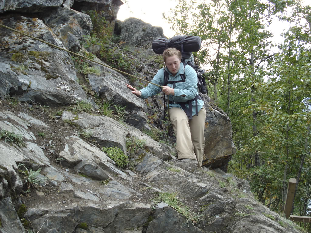
Rope.
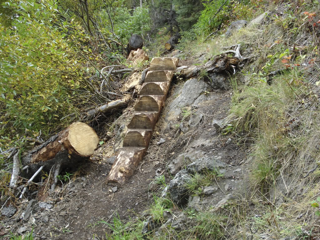
Stairs.
Twin Falls.
Icicle creek.
Here is a map showing the start point and end point. the trail is not a straight line between the two, so even though its 14 miles on the map, on the ground you cover 24-26 if you start at the actual Iditarod trail head.
Here is me and my wife all fat and happy.
Here is the general condition of the trail.
This is how you turn 14 miles into 26.
Crystal Lake, almost at the pass.
A helicopter tour on their way to the pass.
Finally at the damn Pass! Raven Glacier in the background.
The valley we have to walk through.
Me too close to Raven Glacier.
One of the snow fields we crossed.
The marmot.
Mt Yukla, 7535 feet.
Waterfall.
A bridge.
Where we forded Eagle river.
Eagle Glacier, Which feeds Eagle river.
Thunder Gorge.
Camp.
Ladder.
Rope.
Stairs.
Twin Falls.
Icicle creek.
Last edited by airborne200208; 09-09-2008 at 09:34 PM.

Thread
Thread Starter
Forum
Replies
Last Post
airborne200208
Off Topic Discussion
19
05-27-2008 04:12 PM